Wallacea community reef monitoring
Six coastal villages in Seram, Indonesia, train their own survey teams, measure the health of the reefs they fish every quarter, and use the results to make the case for district funding. Eighteen months, January 2026 to June 2027.
Timeline
Budget
Countries
Funding programme
Grant reference CFF-2026-031
Verified results
Reef sites surveyed
Mean live coral cover
Community surveyors trained
Share of trained surveyors who are women
Reefs measured by the people who fish them
Around the six villages, reef health has never been measured by anyone who lives there. Surveys happen when a research team visits, and the results go home with them. This project changes who holds the numbers.
Twelve surveyors, two from each village, measure live coral cover at six sites every quarter, using the same transect method marine scientists use. The results go onto a dashboard the villages run themselves, and into a funding case for the district.
How a survey works
Three 50-metre transects per site, parallel to the shore at 5 metres depth. Live coral is recorded every 50 centimetres — 100 points per transect — and every transect is photographed at both ends so anyone can check the count.
Where we are
- Done: twelve surveyors trained and certified, five of them women.
- Done: baseline survey at all six sites — mean live coral cover 34.5%.
- Under way: the first monitoring round run by the teams alone, and the community dashboard.
- Next: the district funding case, built on two rounds of data.
From the field
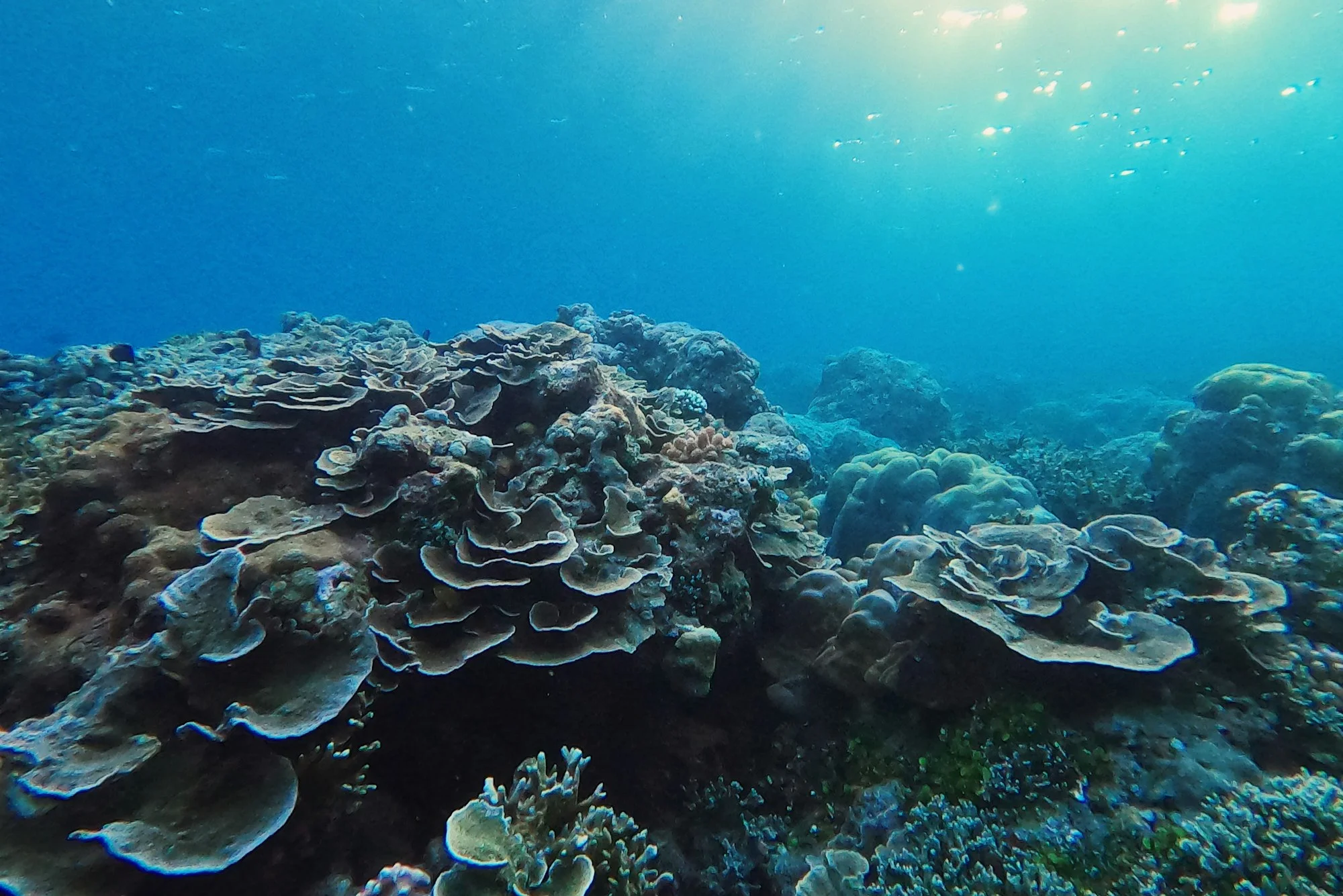
Site 3 at 5 metres, where the baseline transect runs.
A surveyor checks the site before the line goes down.
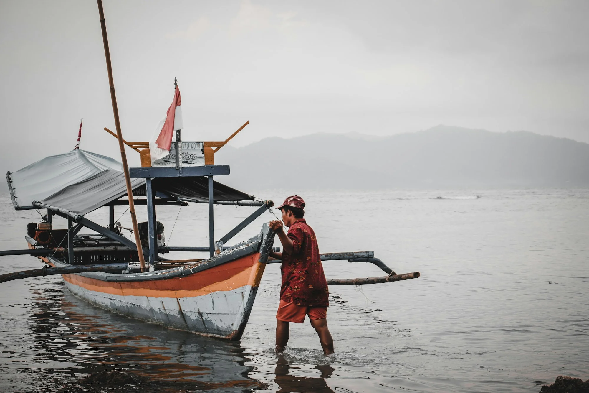
Each site is a boat ride from its village.
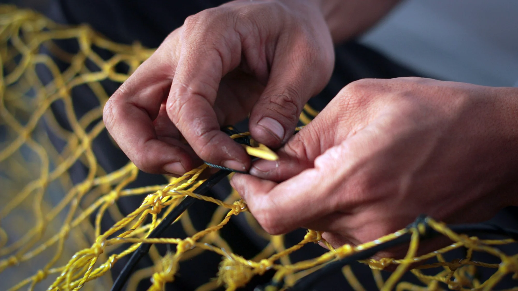
Survey days are planned around the fishing calendar.
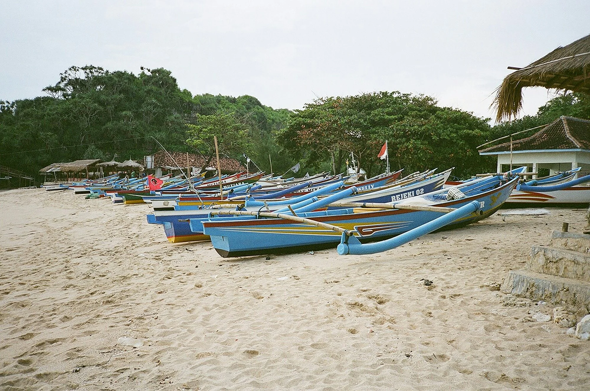
The landing at Haria, where the survey boats leave.
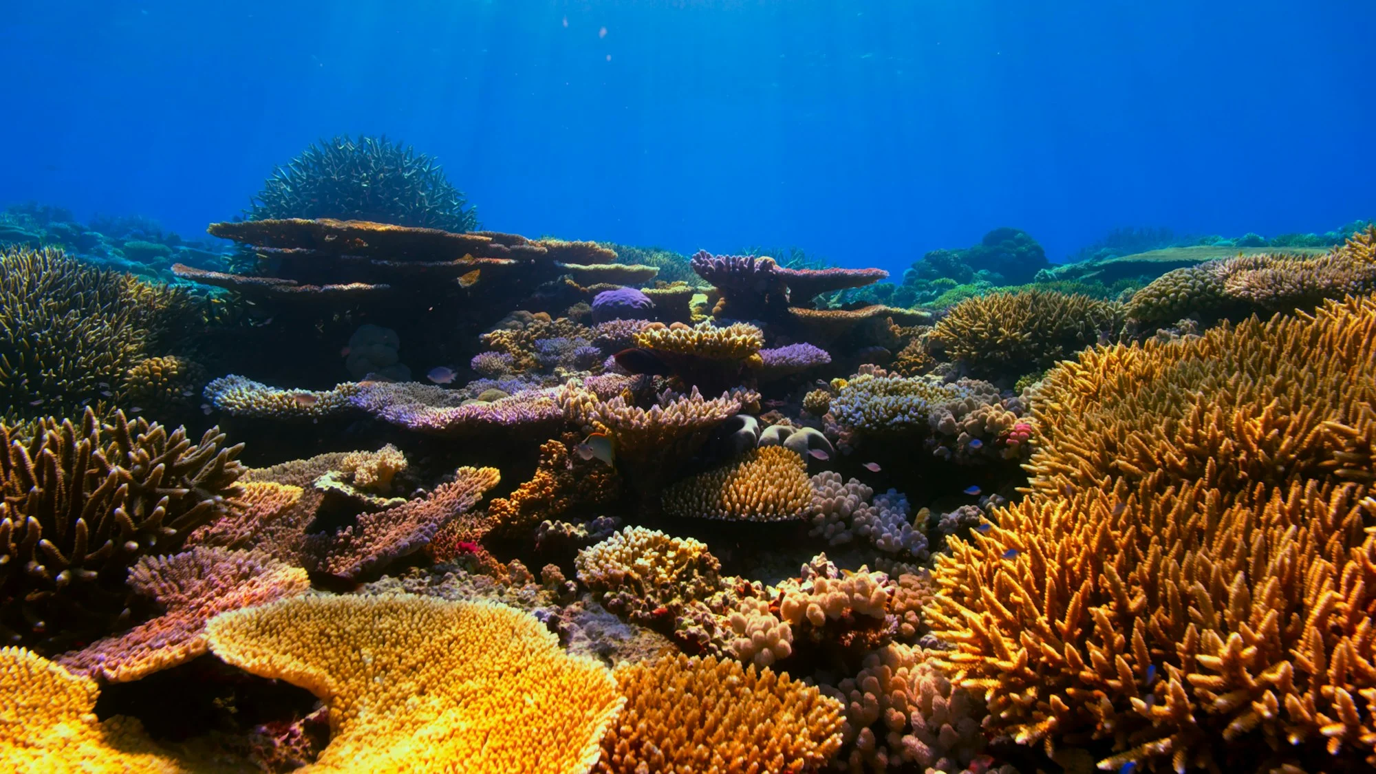
Live coral cover is recorded every 50 centimetres.
Who makes it possible
The project is funded by the Coral Futures Fund and the Blue Shores Foundation, with a pending contribution from the Seram Coastal Trust. The six village councils nominated the surveyors and own the data.
Roadmap
Recruit and train community survey teams
Completed 4 September 2026
Baseline reef survey across six sites
Completed 16 October 2026
Quarterly monitoring cycle one
Aug – Nov 2026
Community data dashboard
Aug – Dec 2026
District funding case and handover
Nov 2026 – Feb 2027
Monitoring cycle two
Jan – Mar 2027
Final evaluation and learning report
Apr – Jun 2027
Recent updates
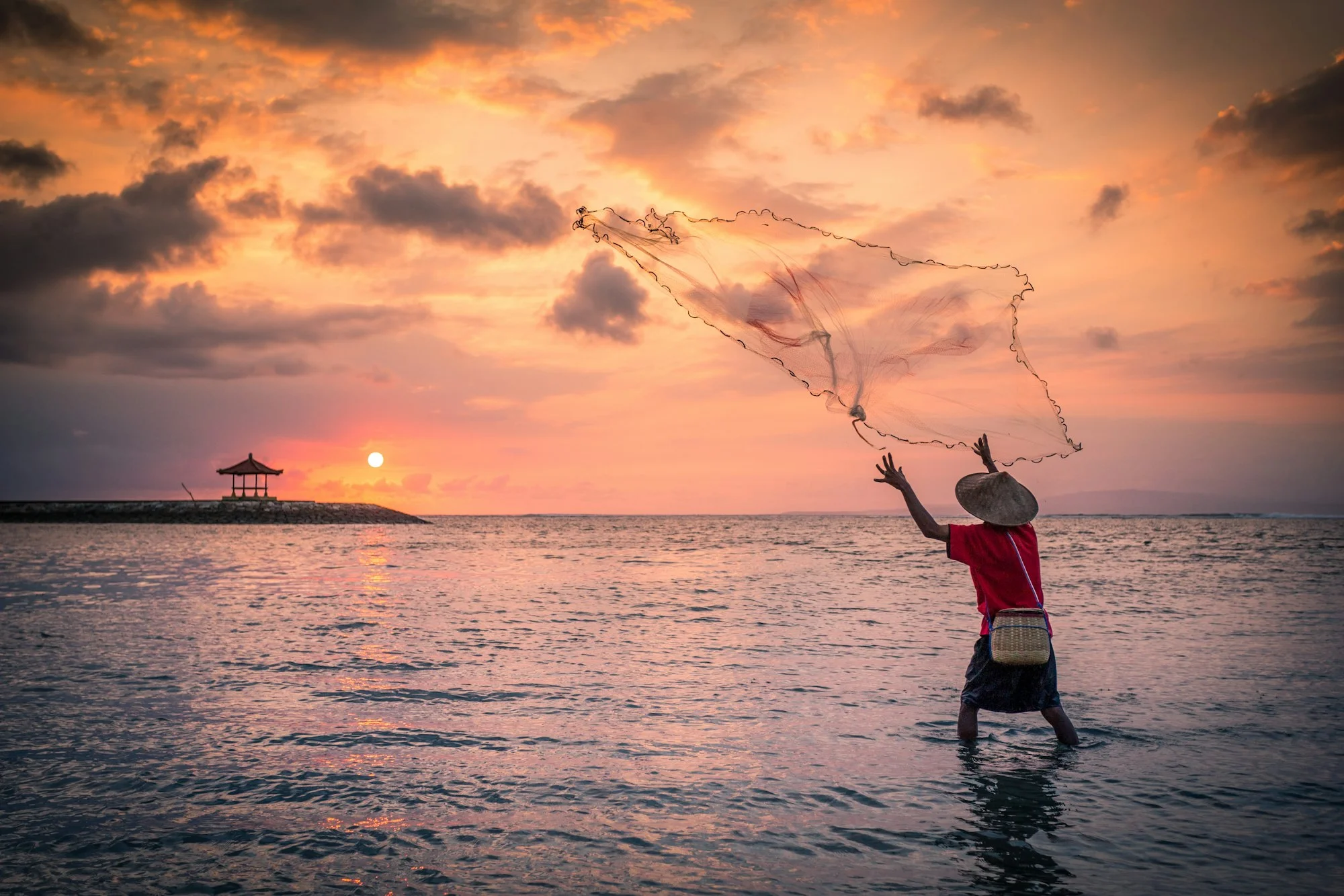
First briefing with the district planning office
Two team leads presented the baseline results to the district planning office. The office asked for the second round before anything goes into the 2027 budget…
16 October 2026Dashboard prototype tested in Haria
The first version of the community dashboard went to the village council in Haria this month. The feedback was blunt and useful: fewer charts, bigger photos, a…
16 October 2026Why we chose transects over drones
We were asked more than once why the teams swim transects when a drone could photograph a reef in minutes. Three reasons.Depth. At five metres the surface glar…
16 October 2026